

(Image credit: Future)
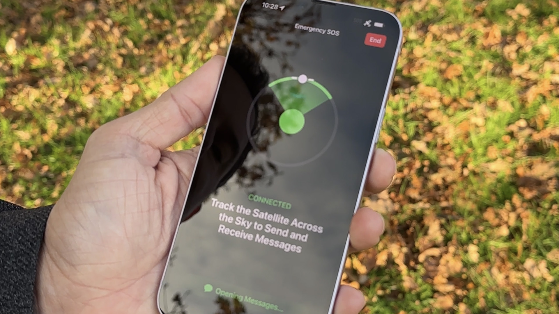
For iPhone users, one of the biggest new features of recent years is Emergency SOS via Satellite. That's a genuine lifesaver, with the ability to get users out of situations which could otherwise have fatal consequences.
Now, it looks as though the brand is trying to find even more ways of utilising that satellite technology. As reported by The Verge, the brand could look to revamp the way its satellite features work, which might also bring new features into existence.
That was shared by Mark Gurman, as part of the Power On newsletter. Gurman has a proud track record when it comes to Apple leaks, and is widely regarded as one of the foremost Apple insiders there is.
Of the new features, the most exciting is the notion of a satellite-powered Apple Maps app. That would be a massive help in remote locations, where signal can be sparse and one wrong turn can leave you totally stranded.
While something similar is already available with downloaded maps, that requires pre-planning. While that can sometimes work, it doesn't account for every eventuality – a satellite signal would allow for on the fly amendments as your journey required it.
(Image credit: Future)
Other notes include improvements to the satellite messaging capabilities of the software. That would allow users to send photos in addition to basic messages, which could be useful for signalling a particular location.
There's also said to be a drive to improve the user experience, with something known as natural usage. In essence, that's a bid to try and make using the Emergency SOS system as natural as any other task on your handset.
It's not something which can currently be found – to make use of the system, users have to have a clear, unobstructed view of the sky, which isn't always the easiest stipulation to satisfy.
-
 C114 Communication Network
 -
 Communication Home